Founded on Data
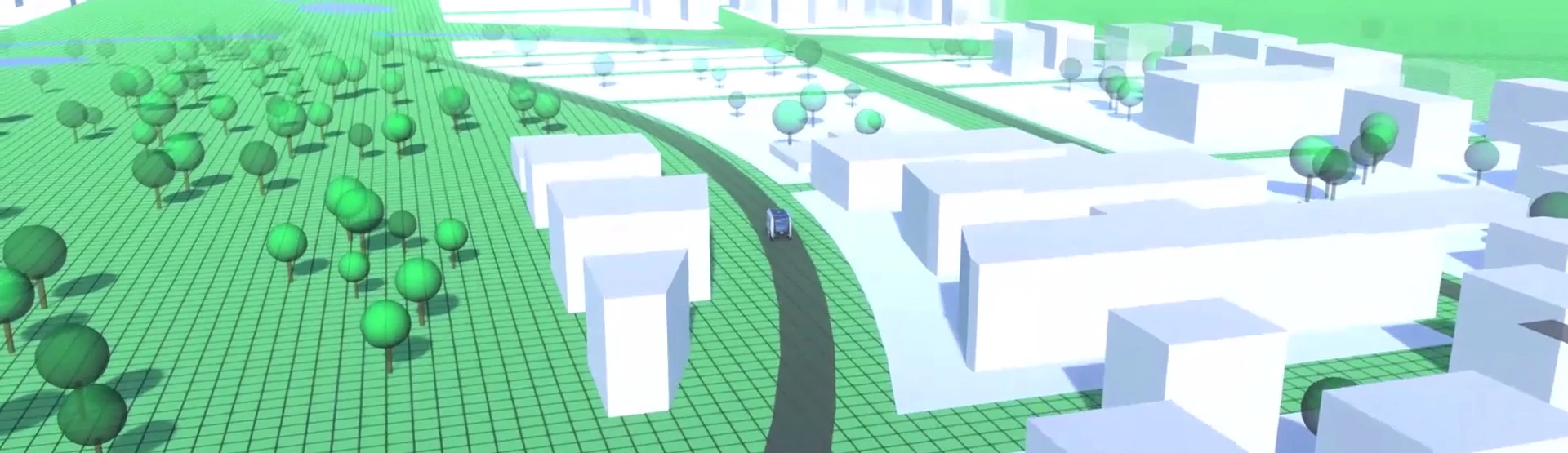
Geodan amasses all available digital information in the digital twin and uses it to build a digital copy of Brandevoort. Citizens and policymakers own this virtual district and they can even visit it with the help of smart 3D models, giving them a realistic look at the impact of future plans and processes. What would be the best place for a future row of terraced homes, a cycling path or intersection, for instance, and would a wildlife crossing be needed? Experiencing the various scenarios with their own eyes in a virtual environment can help stakeholders better understand and paint a better mental image of choices and decisions.