case - sterke Lekdijk

Even better protection against floods

With an eye on the future, the Lekdijk between Amerongen and Schoonhoven is set to be strengthened, but the shovel won’t hit the dirt until enough is known about the soil. Geodan maps out all data on this topic, providing a solid foundation for the reinforcement process.

A jumble of soil data

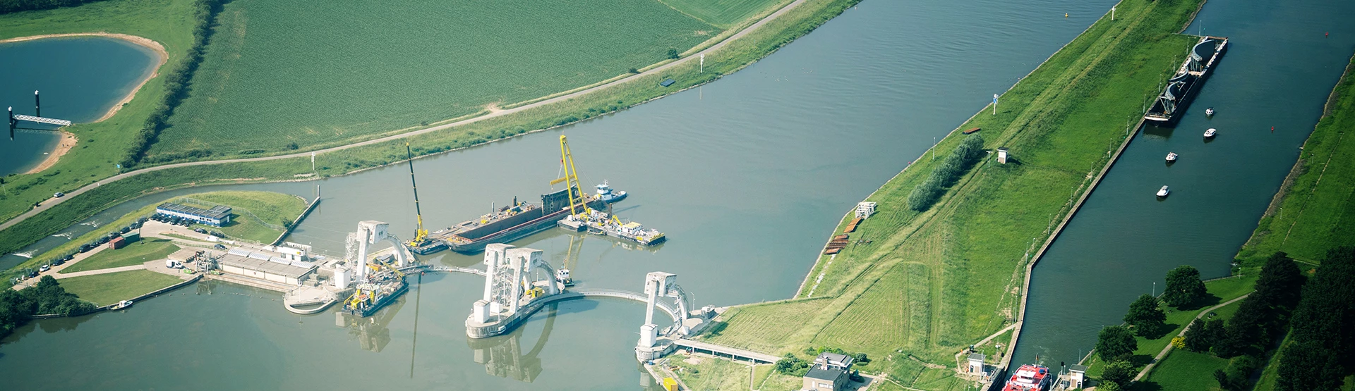
The Lekdijk protects a large part of the Randstad against flooding. And to make sure it will stay that way, the stretch of dike between Amerongen and Schoonhoven is set to be reinforced. What needs to be done depends very much on the composition of the subsoil. Different soil types - such as clay, sand, and peat - have different strengths and allow water to pass through to a greater or lesser extent. That’s why it’s important to get a single coherent picture of the soil. But how?

The solution

The subsoil in view

Geodan provides access to all the subsoil data from the Basisregistratie Ondergrond (Basic Subsurface Registry) and makes it more transparent by visualizing it in 3D. This makes it possible to optimally adapt the design of the dike to the composition and properties of the soil, as well as creating a reliable risk profile for the dike: an excellent basis for well-informed renovation measures.

Peter de Graaf

Want to know more?

Peter de Graaf

Please feel free to contact us. Peter de Graaf is our expert in this field.

Email me
The result

Source of renovation measures

Because Geodan provides access to the data from the Basisregistratie Ondergrond, the opportunities, risks, and problems of the subsoil become more transparent. Not only during the exploration, planning, and realization phases of the renovation of the Lekdijk, but also afterwards, because data lets you to get to the bottom of dikes at all times.

The result

A Digital Twin of the dike

By unlocking data from the Basic Underground Registration, Geodan provides better insights into the opportunities, risks, and challenges of the underground via a Digital Twin. This applies not only during the exploration, planning, and implementation phases of the Lekdijk renovation but also afterward. Because with data, you can continuously understand and analyze dikes.