The added value of location intelligence is becoming increasingly clear in more and more areas of society, as well as the competitive advantage it can provide in tackling a wide range of challenges. It can help companies and authorities calculate the shortest route to the customer, for instance, or optimize an entire network of branches, but it can also be used to accelerate emergency services and local developments. GeodanMaps, our cloud platform for location intelligence solutions, serves as the foundation for all these applications. And more. Add to that the fact that opting for GeodanMaps frees you from the need of making significant investments into specialist knowledge and expensive geo-information systems, because we simply provide location intelligence as a service, from our very own cloud. Scalable, user-friendly and at low, manageable costs.
Mix & Match
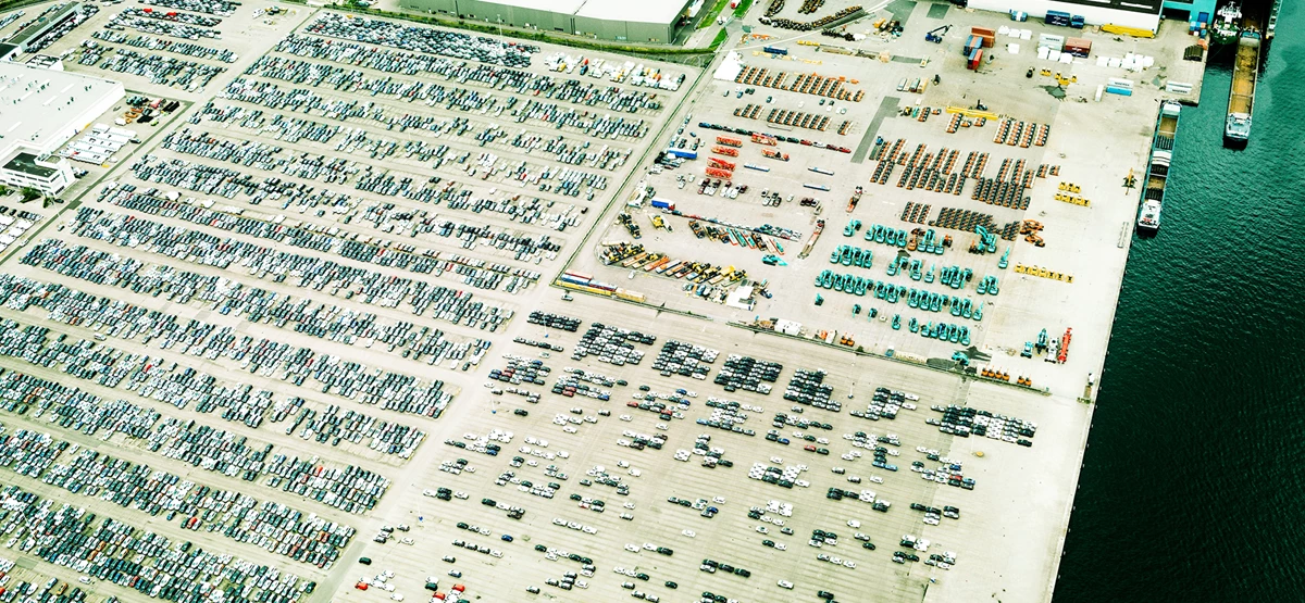
GeodanMaps gives you access to a wide range of functionalities and a comprehensive data library, consisting of map layers and datasets that provide relevant information about a given theme or area, in the Netherlands and abroad. From finding travel times and travel distances, to determining efficient district layouts, visualizing data or hosting a custom application, GeodanMaps can do it all.
GeodanMaps has the answer to every location question and gets location intelligence to work for your organization.
Jasper Arends
Want to know more?
Please feel free to contact us. Jasper Arends is our expert in this field.
GeodanMaps has different datasets for various sectors, which can be viewed in the GeodanMaps viewer or on your own application. from Dutch Building Properties, Consumer Data and Energy Data to Postcode Data, aerial photos and the Tree registry.
Our location intelligence services can easily be linked to your own, existing systems.
For developers
Build your own application based on our platform. GeodanMaps makes Geo-ICT simple. All our services are available as APIs and where needed we can always provide support. View the API documentation and get access to test the APIs.
Combine your own data with datasets that are relevant for your sector
Reliable
Make better decisions based on visual analysis
Flexible
A subscription for your entire organization. Pay per use
OUR SERVICES
Clear insight
GeodanMaps also forms the basis for various applications. We developed some of them ourselves, but we also enjoy working together with partners and developers, who build new applications based on our services.
We provide high-impact incident and crisis management services, for instance, which let stakeholders form a quick, unambiguous picture of a crisis, allowing them to work together to solve it efficiently and effectively. But we also help mail companies calculate the fastest walking route along any number of our 30,000 mail addresses. And with our Phoenix touchtable application, stakeholders can have access to a single, shared picture when designing new spatial plans. This approach promotes effective cooperation and lets stakeholders consider and weigh a range of different interests. Finally, our GeodanMaps Viewer helps companies and organizations map out their own data, giving them clear insight into trends and spatial patterns.
GeodanMaps Viewer
Please note: this demo viewer only shows part of the province of Flevoland and surrounding areas. Beyond that, the demo viewer is not available.
Want to know more?
Curious about the possibilities of location intelligence? We are happy to tell you all about it!