Producten&diensten Datasets en services Natuur en milieu
Bert Scholten

Interested?

Bert Scholten

Want to know more or are you interested in a demo? Feel free to contact me.

Email me

Nature and Environment

Do you always want to have relevant information and insights that are of value to your organization, Our datasets and services can get you that information. Developed specially for your company. This way, you always have all data on hand, ranging from information about green spaces in the city to transparent insight into the sustainability of a specific neighborhood. Discover how location intelligence can improve your business and business processes.
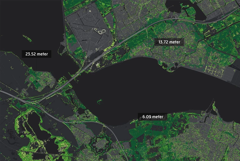
 

Dataset: Zip code maps

At different levels

Do you always want the most up-to-date version of the zip code map? At all levels: from 2 to 6-position zip codes? Geodan’s zip code maps let you do just that. You can use these in Geographic Information Systems (GIS), BI systems, or in your own (web) application to make geographic analyses a lot simpler. From displaying your customer turnover by zip code area and visualizing your service area to mapping out districts. You can choose from a basic version or more complete variants, custom-made for your organization.

Service: Spatial Queries

Fire away!

Our Spatial Queries service gives you an easy way to request the characteristics of selected areas, ranging from population and housing characteristics to natural monuments and Natura 2000 areas, which are all important to keep in mind. You can easily filter the data based on location, route or a selected area, and with the export function, you can easily process the information in reports or a spreadsheet application later.

Dataset: Zip code-neighborhood relation table

In the neighborhood

Looking for more information about the demographic characteristics of a certain area or neighborhood? Simply link your own zip-code-level data to neighborhoods and districts known to Statistics Netherlands. We’ll get you all the characteristics that are available at that level and provide all data in a single, handy overview.

Boomregister.png

Tree registry

Dataset: Tree registry

A ‘treemendous’ dataset

By planting trees in the right places, we can really improve air quality. You can, for example, link our air quality data to the Tree registry data to simplify your spatial planning process and improve your arguments for making certain decisions, but you can also use the Tree registry to map out the habitat of birds of prey, grassland birds, bats, and insects. Aside from that, it’s also the perfect tool for monitoring landscape developments.


Dataset: Energy data

Everything about energy

The Energy data dataset gives you all the information you could possibly need on energy in an urban environment, including relevant information for prioritizing sustainability campaigns or determining real estate and rental prices, for instance. What’s the energy consumption like in this area? Which homes have what kind of insulation? In which neighborhoods can I generate renewable energy? Which type of energy conservation measure is most suitable for which type of home or area? Energy data will tell you.

Dataset: distance matrix

Accurate travel times

In our distance matrix, you’ll find all travel times and distances to and from all zip codes in the Netherlands. The standard version is available for cars at the zip code 4 and zip code 5 level, but custom tables are also possible for other modes of transportation or other countries, for instance. Ideal for use in HRM systems to determine travel expenses, or to determine travel times and distances between different areas in the logistics sector.

Service: Map layers

Map library

Geodan offers a standard map library with data for GeodanMaps customers, including administrative layouts, such as zip code and municipal boundaries, as well as all addresses and buildings, building types, energy data, and demographic data at the zip-code level. Aside from that, it’s easy to add your own data for a handy, complete overview.


Pros

  • Custom dataset

    Receive a custom-made dataset, adjusted to your company’s wishes.
  • Combine datasets

    Combine your own data with datasets that are relevant for your sector
  • Visual analyses

    Make better decisions with the help of visual analyses
Service: Geocoding

Always handy

GeodanMaps lets you code your own geodata using an Excel file. From zip codes and addresses to coordinates, neighborhoods, and areas; they are all converted into separate map layers, allowing you to visualize your own data on a map and gain new insights. This information is also easy to share with others.


Case:

Salvaging cars on time

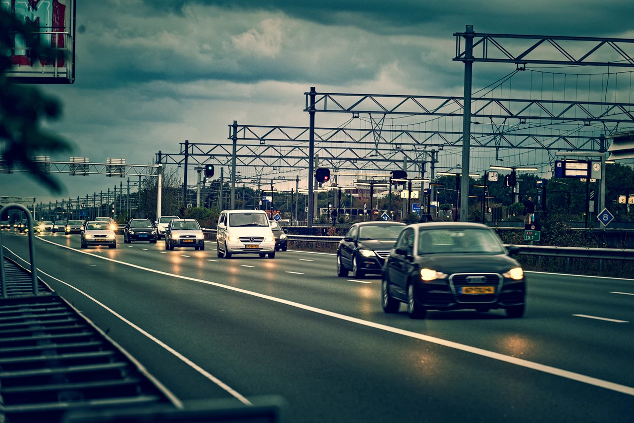
To limit traffic congestion, damaged cars must be removed from the road as quickly as possible after an incident. AIM (Arrival time system Incident Management) monitors the duration of the operation and Bergerview visualizes the location and status of the salvagers involved.


case - Aanrijdtijdensysteem Incident Management
Products and services

Solutions

Geodan offers handy tools for the nature and environment sector.

All products
Geodan helps policymakers create nature, environment, and climate policy dashboards.