Producten&diensten mobiliteit

Mobility

Do you always want to have relevant information and insights that are of value to your organization, Our datasets and services can get you that information. Developed specially for your company. Always have all data on hand, to gain insight into spectator flow or predict traffic jams and slippery roads. Discover how location intelligence can improve your business and business processes.

Datasets

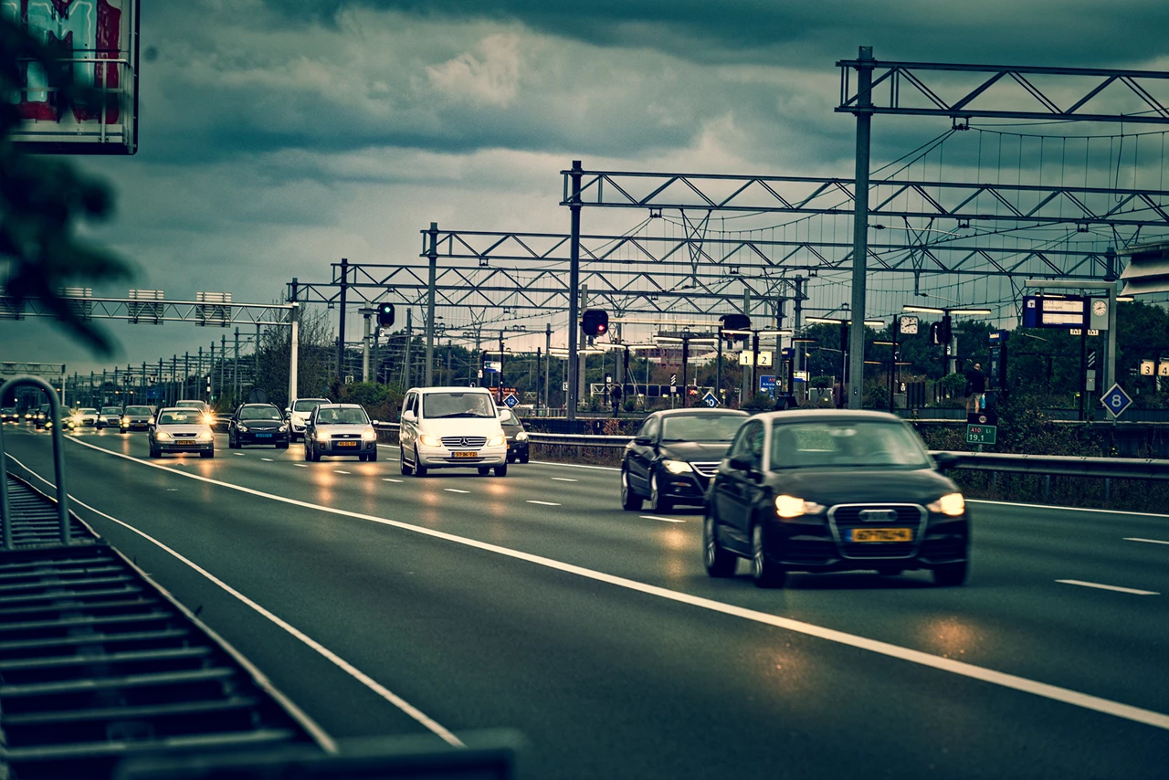
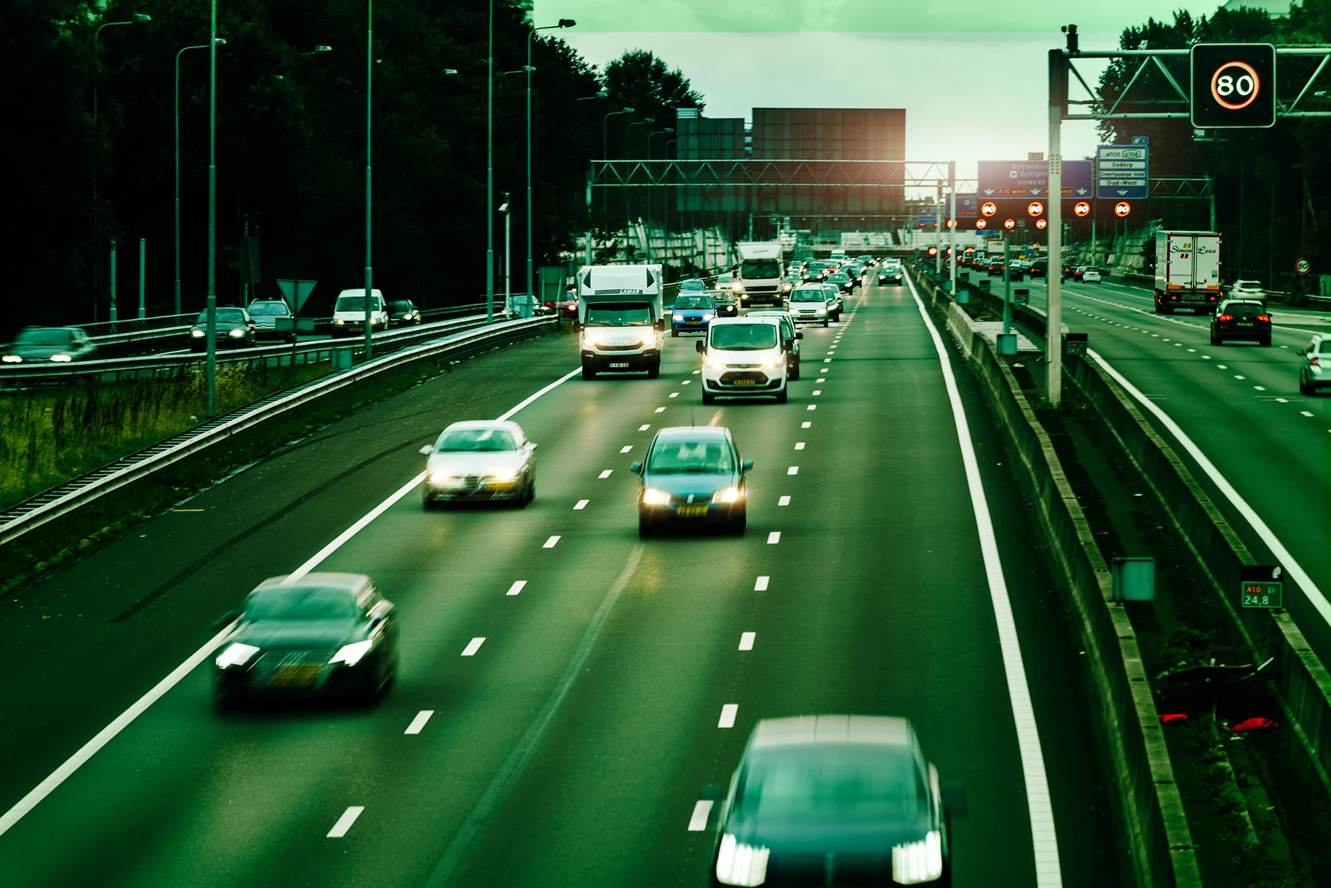
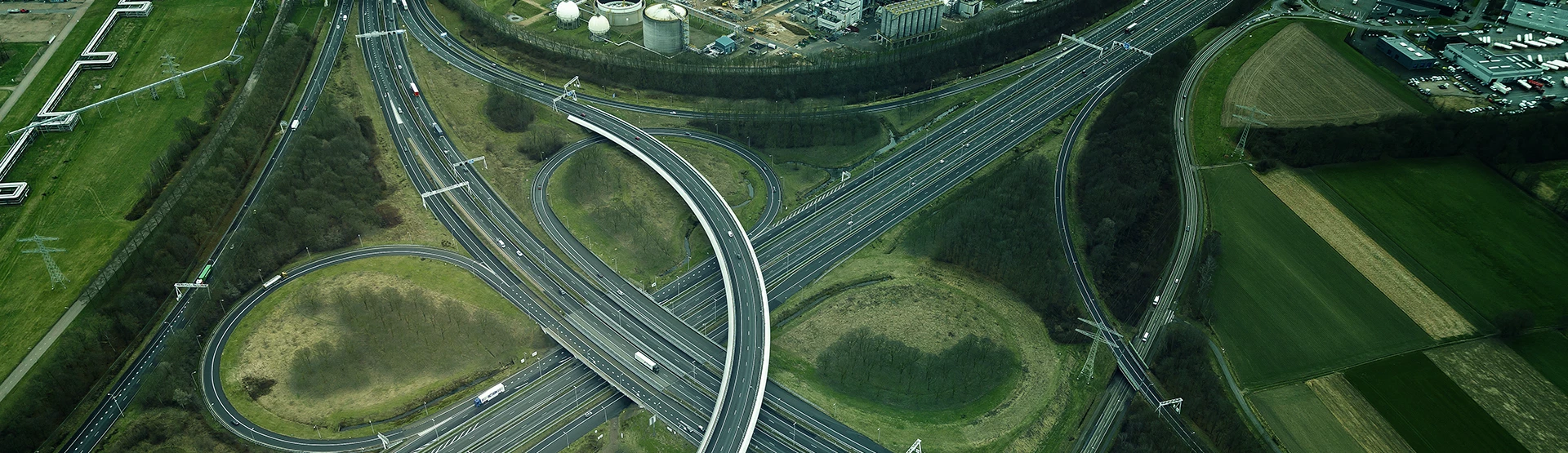
Infrastructure for bicycles is different to that for cars, and trucks won’t be able to pass through every viaduct. We have carefully mapped the entire infrastructure so that we can always show you the best way, whether you’re travelling by bike, car or truck.


Service: Routing and travel times

The shortest way

Our routing networks form the basis for the most realistic and efficient route calculation. Looking for a route from A to B, or a route past several locations? We give drivers the optimal route, along with reliable travel times. To make your planning even more accurate, combine this service with the Building Properties dataset.

Services: Travel time isochrones

Time will tell

We calculate the accessibility of a specific location based on travel time and distance, regardless of whether you’re travelling by car, bicycle, or truck.

PC4kaart.png

Zip code maps

Dataset: Zip code maps

At different levels

Do you always want the most up-to-date version of the zip code map? At all levels: from 2 to 6-position zip codes? Geodan’s zip code maps let you do just that. You can use these in Geographic Information Systems (GIS), BI systems, or in your own (web) application to make geographic analyses a lot simpler. From displaying your customer turnover by zip code area and visualizing your service area to mapping out districts. You can choose from a basic version or more complete variants, custom-made for your organization.

Service: Geocoding

Up-to-date

Your driver needs to make a delivery in a new residential area, but the software doesn’t recognize the address. Sound familiar? Not if you use our geocoding services, because they are always up-to-date and accurate. On top of that, we work with TomTom, supplier of top-quality location & navigation products and services.

Service: Real-time tracking

Always in control

Unexpected situations can always occur in traffic, which is why it can be useful for you and your customer to track vehicles in real time. On top of that, you can link certain actions and notifications to vehicles, so that customers can know when they need to be at home and so that you can know when to make adjustments.


Pros

  • Custom dataset

    Receive a custom-made dataset, adjusted to your company’s wishes.
  • Combine datasets

    Combine your own data with datasets that are relevant for your sector
  • Visual analyses

    Make better decisions with the help of visual analyses
Dataset: distance matrix

Accurate travel times

In our distance matrix, you’ll find all travel times and distances to and from all zip codes in the Netherlands. The standard version is available for cars at the zip code 4 and zip code 5 level, but custom tables are also possible for other modes of transportation or other countries, for instance. Ideal for use in HRM systems to determine travel expenses, or to determine travel times and distances between different areas in the logistics sector.

Dataset: Zip code-neighborhood relation table

In the neighborhood

Looking for more information about the demographic characteristics of a certain area or neighborhood? Simply link your own zip-code-level data to neighborhoods and districts known to Statistics Netherlands. We’ll get you all the characteristics that are available at that level and provide all data in a single, handy overview.


Service: Map layers

Map library

Geodan offers a standard map library with data for GeodanMaps customers, including administrative layouts, such as zip code and municipal boundaries, as well as all addresses and buildings, building types, energy data, and demographic data at the zip-code level. Aside from that, it’s easy to add your own data for a handy, complete overview.

Service: Geocoding

GeodanMaps

GeodanMaps lets you code your own geodata using an Excel file. From zip codes and addresses to coordinates, neighborhoods, and areas; they are all converted into separate map layers, allowing you to visualize your own data on a map and gain new insights. This information is also easy to share with others.


Case:

Auto’s op tijd bergen

Om filevorming te beperken, moeten beschadigde auto’s na een incident zo snel mogelijk van de weg af. AIM (Aanrijdtijdensysteem Incident Management) monitort hoe lang de werkzaamheden duren en Bergerview brengt de locatie en status van betrokken bergervoertuigen in beeld.

case - Aanrijdtijdensysteem Incident Management
Products and services

Solutions

Geodan offers handy tools for the mobility sector.

All products
In the mobility sector, knowing who is where comes in very handy.
Get a grip on incidents in traffic with Geodan's modular Incident and Crisis Management System (ICMS). A platform for efficient communication surrounding an accident.