F63.jpg

Track & trace solution

Real-time information on one map

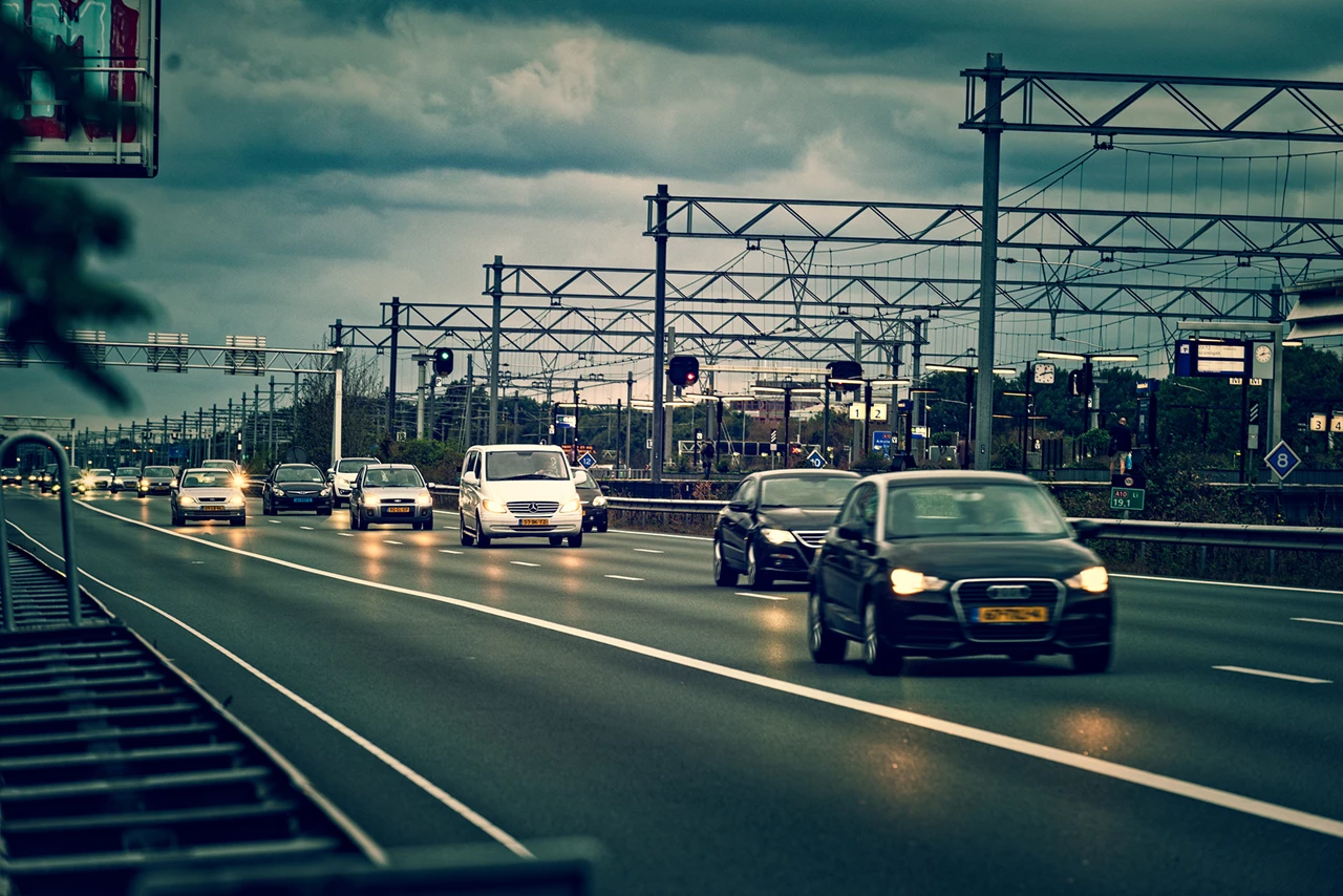
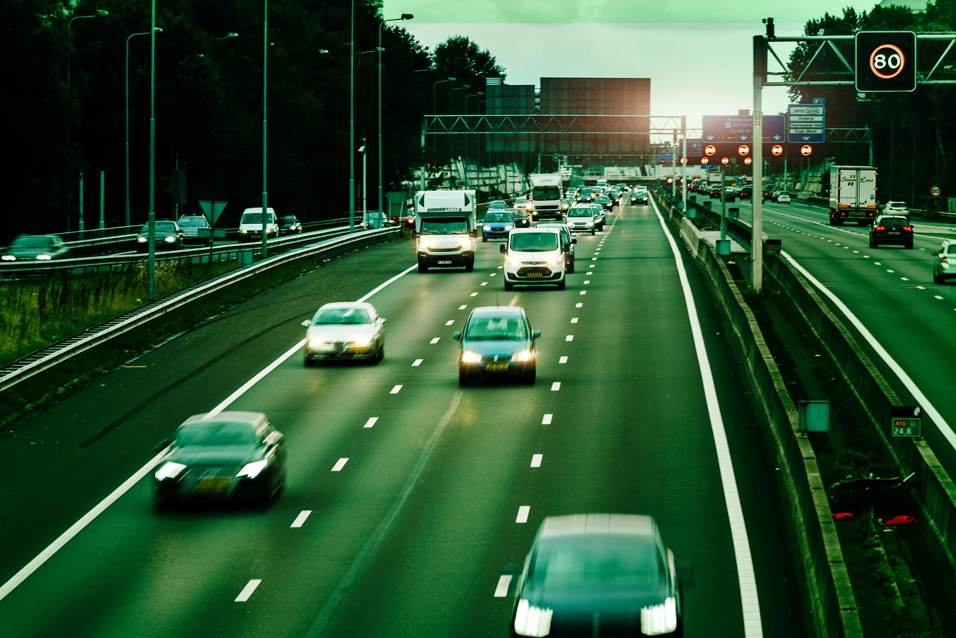
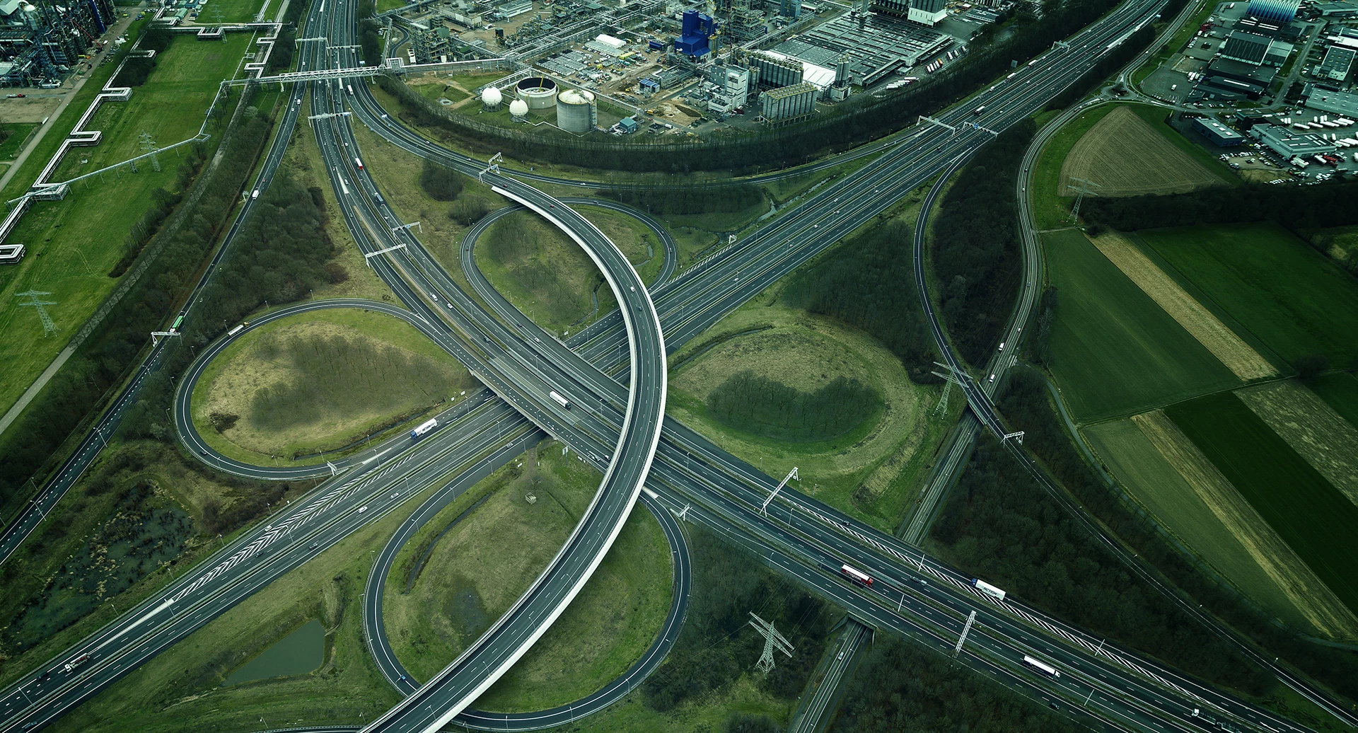
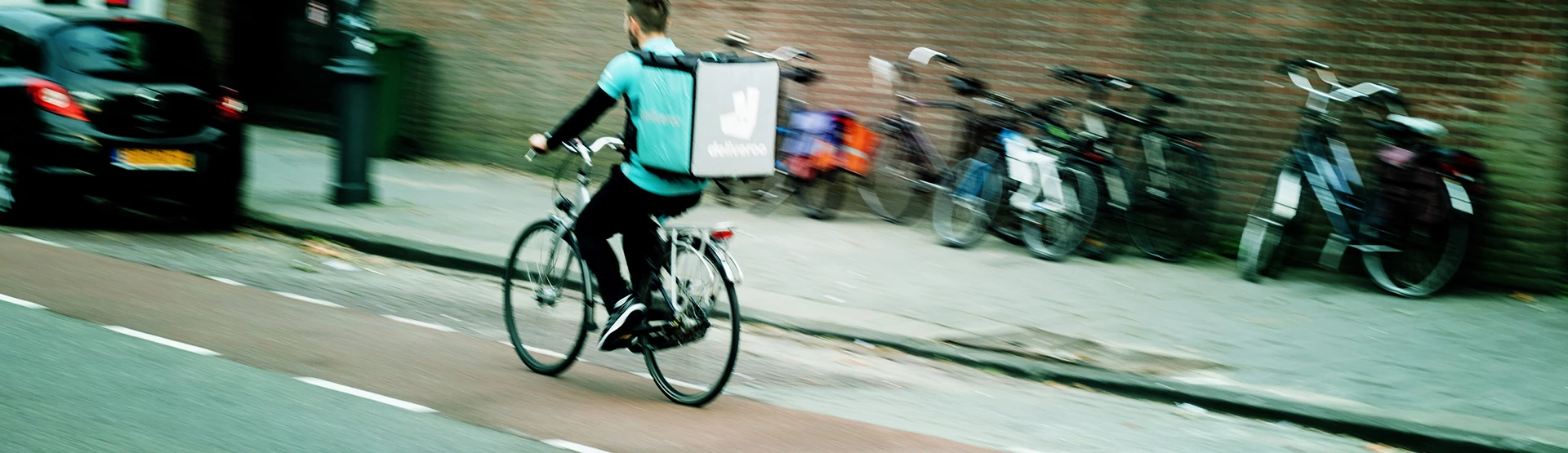
In the mobility sector, knowing who is where is crucial. From accidents requiring emergency services, customers waiting for a parcel, or a forest fire that causes traffic to be diverted. Thanks to Geodan’s Track & Trace solution, this is all within arm’s reach.

Countless possibilities

Our Track & Trace solution is one of the building blocks of our GeodanMaps online cloud platform, which can be integrated into an IT solution for your company in countless ways. With this solution, fire service officers will know where their fire trucks are, customers see if their food order is almost there, and roadside assistance planning managers know exactly which car is closest to an accident. We simply link these location insights to other systems, such as matrix signs on the road that turn on automatically when a lane is closed, or a stock management system that knows exactly when a parcel needs to be made ready.

User-friendliness and data security first

Geodan’s Track & Trace solution can be used on all modern devices, from desktops to mobile phones and from satellite navigation systems to tablets. It runs on every common browser, so there’s no need to install any new software. Data security and privacy are of primary importance in our solution. Vehicles transmit their current GPS position via Geodan’s regular telephone network. We process this information in our own cloud, hosted in the Netherlands. So, no data in foreign hands! We also delete the data immediately after use. Good for security!

One handy overview

Whatever it is you wish to track or trace: you can see it at a glance on one clear map. We can make that map as detailed as you like and can provide specific maps that contain zip code areas and highways, for example. It’s also possible to turn on notifications for certain scenarios, so you’ll always be up to date on the latest developments.

Flexible and scalable

The Track & Trace solution is flexible, easy to personalize, and fully scalable. Besides, it’s pay as you go, based on actual usage. Which is nice to know, if you don’t know ahead of time what the situation is going to be or if you’re looking to expand!

  • All information in one clear overview
  • Runs on all common browsers, no installation required.
  • Price based on actual usage
  • Securely hosted in the Netherlands , without storing any information.
Case:

Salvaging cars on time

To limit traffic congestion, damaged cars must be removed from the road as quickly as possible after an incident. AIM (Arrival time system Incident Management) monitors the duration of the operation and Bergerview visualizes the location and status of the salvagers involved.


case - Aanrijdtijdensysteem Incident Management
Products and services

Solutions

Geodan offers handy tools for the mobility sector.

All products
Get a grip on incidents in traffic with Geodan's modular Incident and Crisis Management System (ICMS). A platform for efficient communication surrounding an accident.
Our datasets and services offer all sorts of valuable information, ranging from insight into the number of stories in a building to predicting stop times.