Interested?

Want to know more or are you interested in a demo? Feel free to contact me.

Want to know more or are you interested in a demo? Feel free to contact me.
Do you always want to have relevant information and insights that are of value to your organization, such as the number of stories in a building or the average Real Estate Valuation in a particular neighborhood? Our datasets and services can get you that information. Developed specially for your company. Discover how location intelligence can improve your business and business processes.
Looking for reliable data that gives clear insight into the demographic structure of your (re)development areas or new construction sites, or do you want to tailor your PR to the right target audience(s)? Our Consumer data is just what you need. Available at zip code level 4, 5 and 6.
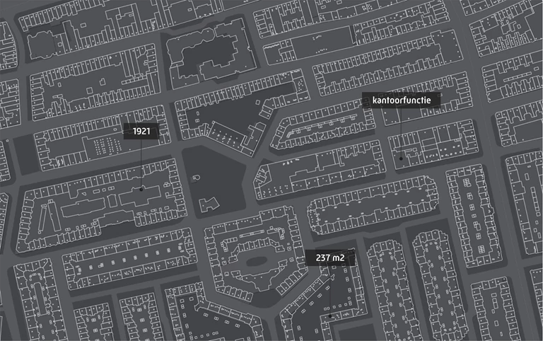
Addresses and Buildings
To limit traffic congestion, damaged cars must be removed from the road as quickly as possible after an incident. AIM (Arrival time system Incident Management) monitors the duration of the operation and Bergerview visualizes the location and status of the salvagers involved.