Producten&diensten Datasets openbaar vervoer

Public transport

Optimal route planning, preventing or combating disruptions and clear communication with passengers are all important in the public transport sector. Our datasets and services will help you out! Developed specially for your company. Discover how location intelligence can improve your business and business processes.

Datasets

If your target audience is hard to fit into fixed borders, you can make use of this dataset with different administrative layouts, such as municipalities, zip code areas, districts, or Bundesländer. Naturally, the sets contain accompanying statistical characteristics.
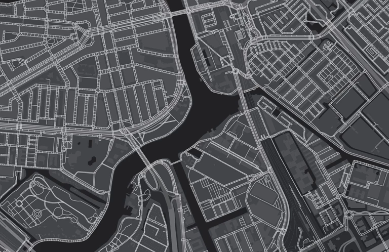
 

Dataset: Tree registry

The green choice

Leaves on the track, or even an entire tree? With data from the Tree Registry, you can precisely map out which trees are next to the track and what risks they pose. The tree registry knows every single tree, including its crown shape and height!

Dataset: Zip code maps

At different levels

Do you always want the most up-to-date version of the zip code map? At all levels: from 2 to 6-position zip codes, and in various versions. These maps can be used in GIS, BI systems, or in your own (web) application and ensure that you can always carry out geographical analyses, whether you’re looking to display your turnover per zip code area, visualize your service area, or map out districts. You can take your pick from a 'basic version' or more complete versions, with, for example, the associated residence and province codes and the number of addresses per area. Easy to link to other data, including Netherlands Statistics datasets.

Service: Travel time isochrones

Time will tell

Travel time isochrones make it easy to determine the accessibility of bus stops or train stations for your customers and employees within a certain time frame. The isochrones indicate various potential travel times, depending on which mode of transport you use. In the event of a crisis, they can help rail managers, for example, quickly gain insight into how long it will take to arrive at a certain location.

Dataset: Zip code-neighborhood relation table

In the neighborhood

Looking for more information about the demographic characteristics of a certain area or neighborhood? Simply link your own zip-code-level data to neighborhoods and districts known to Statistics Netherlands. We’ll get you all the characteristics that are available at that level and provide all data in a single, handy overview.


Service: Real-time tracking

Track your vehicle, live

Unexpected situations can always occur in traffic, which is why it can be useful for you and your customer to track vehicles in real time. This lets you keep track of the common operational picture and lets you find out the exact location of salvagers and/or emergency services in case of an accident. Find out who can be on site the fastest and link certain actions and/or notifications to the vehicles.

Routeernetwerken.JPG

Routing networks

Service: Routing and travel times

The shortest way

Our routing networks form the basis for the most realistic and efficient route calculation. Traffic jams or roadworks? We’ll give your drivers the optimal route, along with reliable travel times. To make your planning even more accurate, combine this service with the Building Properties dataset. That way, you’ll even be able to predict stop times!

Pros

Our datasets

  • Custom dataset

    Receive a custom-made dataset, adjusted to your company’s wishes.
  • Combine datasets

    Combine your own data with datasets that are relevant for your sector
  • Visual analyses

    Make better decisions with the help of visual analyses
DATASET: distance matrix

Accurate travel times

In our distance matrix, you’ll find all travel times and distances to and from all zip codes in the Netherlands. The standard version is available for cars at the zip code 4 and zip code 5 level, but custom tables are also possible for other modes of transportation or other countries, for instance. Ideal for use in HRM systems to determine travel expenses, or to determine travel times and distances between different areas in the logistics sector.


Service: Map layers

Map library

Geodan offers a standard map library with data for GeodanMaps customers, including administrative layouts, such as zip code and municipal boundaries, as well as all addresses and buildings, building types, energy data, and demographic data at the zip-code level. Aside from that, it’s easy to add your own data for a handy, complete overview.

Service: Geocoding

GeodanMaps

GeodanMaps lets you code your own geodata using an Excel file. From zip codes and addresses to coordinates, neighborhoods, and areas; they are all converted into separate map layers, allowing you to visualize your own data on a map and gain new insights. This information is also easy to share with others.


Case:

Salvaging cars on time

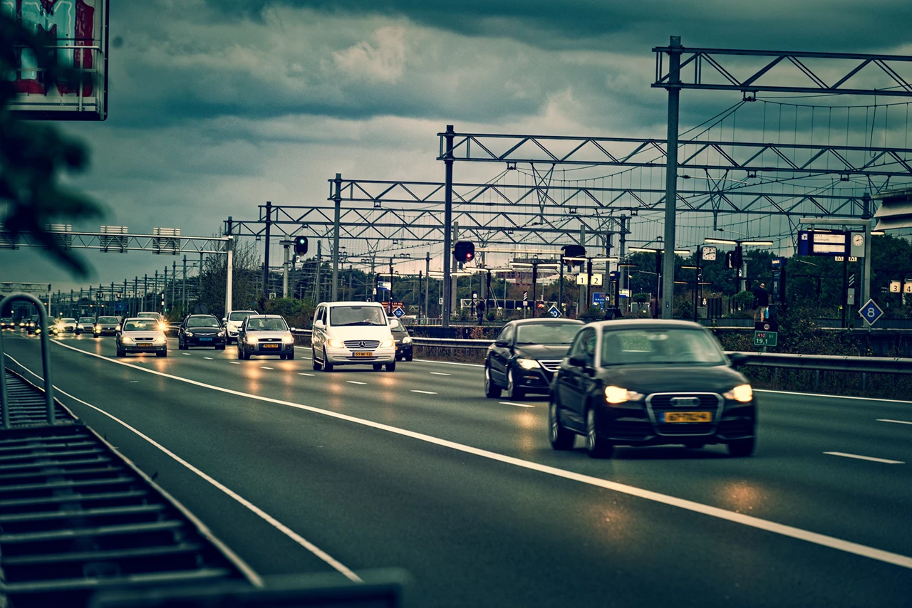
To limit traffic congestion, damaged cars must be removed from the road as quickly as possible after an incident. AIM (Arrival time system Incident Management) monitors the duration of the operation and Bergerview visualizes the location and status of the salvagers involved.


case - Aanrijdtijdensysteem Incident Management
Products and services

Solutions

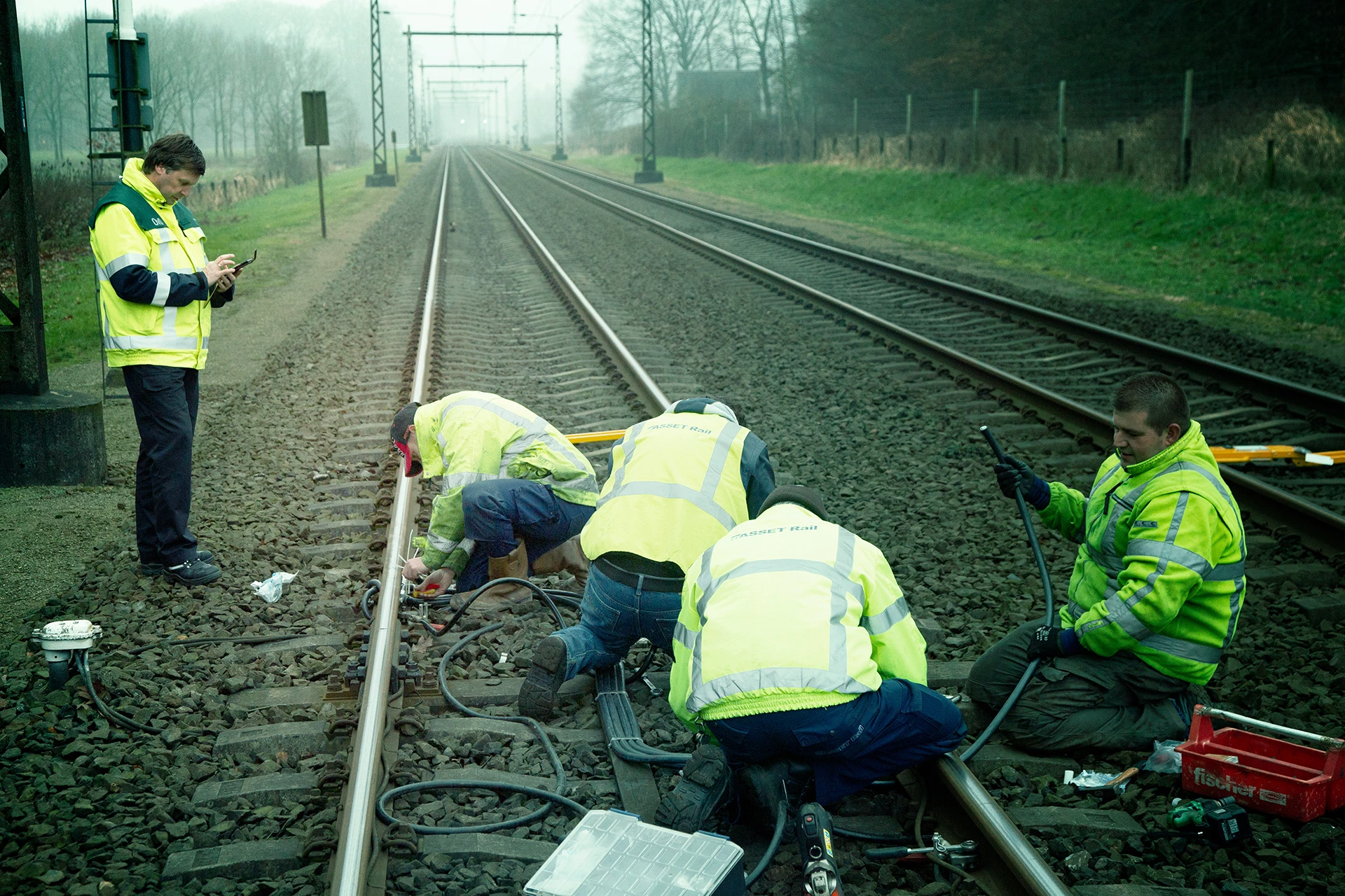
Geodan offers a system for incident management for the public transport sector.

All products
Get a grip on incidents in public transport with Geodan's modular Incident and Crisis Management System (ICMS). A platform for efficient communication surrounding an accident.