Producten&diensten Datasets en services Logistiek en distributie

Logistics and distribution

Do you always want to have relevant information and insights that are of value to your organization, ranging from the number of stories in a building and the shortest route to the customer, to the best place to open a new branch? Our datasets and services can get you that information. Developed specially for your company. Discover here, how location intelligence can improve your business (processes).  

Datasets

Reliable route calculation is about more than accurate travel times alone. Stopping times, for example, are at least as important. With our extensive dataset of addresses and buildings in the Netherlands and associated, relevant characteristics, you’ll know, for example, whether your driver has to make a delivery to a detached house or an office building. But you’ll also know the height of the buildings and how many stories it has, which is valuable information when it comes to predicting stop times.
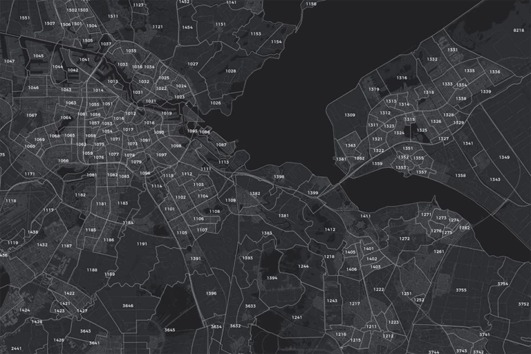
Dataset: Routing addresses

Always find your way

If your delivery person sometimes gets sent to the wrong side of a building, what you need, is the Routing addresses dataset. In this dataset, Geodan has optimized the location of all addresses in the Netherlands for logistical purposes, so you can be sure that your delivery person will find the right route immediately and will never have to take the long way round.

Dataset: Routing networks

Infrastructure mapped out

Infrastructure for bicycles is different to that for cars, and trucks won’t be able to pass through every viaduct. We have carefully mapped the entire infrastructure so that we can always show you the best way, whether you’re travelling by bike, car or truck.

Service: Real-time tracking

Always in control

Unexpected situations can always occur in traffic, which is why it can be useful for you and your customer to track vehicles in real time. On top of that, you can link certain actions and notifications to vehicles, so that customers can know when they need to be at home and so that you can know when to make adjustments.

Service: Routing networks

The shortest way

Our routing networks form the basis for the most realistic and efficient route calculation. Looking for a route from A to B, or a route past several locations? We give drivers the optimal route, along with reliable travel times. To make your planning even more accurate, combine these services with the Building Properties dataset to also predict stop times.

PC4kaart.png

Zip code map

DATASET: Zip code maps

At all levels

Do you always want the most up-to-date version of the zip code map? At all levels: from 2 to 6-position zip codes? Geodan’s zip code maps let you do just that. You can use these in Geographic Information Systems (GIS), BI systems, or in your own (web) application to make geographic analyses a lot simpler. From displaying your customer turnover by zip code area and visualizing your service area to mapping out districts. You can choose from a basic version or more complete variants, custom-made for your organization.

Service: Geocoding

Up-to-date

Your driver needs to make a delivery in a new residential area, but the software doesn’t recognize the address. Sound familiar? Not if you use our geocoding services, because they are always up-to-date and accurate. On top of that, we work with TomTom, supplier of top-quality location & navigation products and services.


Pros

  • Custom dataset

    Receive a custom-made dataset, adjusted to your company’s wishes.
  • Combine datasets

    Combine your own data with datasets that are relevant for your sector
  • Visual analyses

    Make better decisions with the help of visual analyses
Dataset: distance matrix

Accurate travel times

In our distance matrix, you’ll find all travel times and distances to and from all zip codes in the Netherlands. The standard version is available for cars at the zip code 4 and zip code 5 level, but custom tables are also possible for other modes of transportation or other countries, for instance. Ideal for use in HRM systems to determine travel expenses, or to determine travel times and distances between different areas in the logistics sector.

Dataset: Zip code-neighborhood relation table

In the neighborhood

Looking for more information about the demographic characteristics of a certain area or neighborhood? Simply link your own zip-code-level data to neighborhoods and districts known to Statistics Netherlands. We’ll get you all the characteristics that are available at that level and provide all data in a single, handy overview.

Service: Map layers

Map library

Geodan offers a standard map library with data for GeodanMaps customers, including administrative layouts, such as zip code and municipal boundaries, as well as all addresses and buildings, building types, energy data, and demographic data at the zip-code level. Aside from that, it’s easy to add your own data for a handy, complete overview.

Service: Geocoding

GeodanMaps

GeodanMaps lets you code your own geodata using an Excel file. From zip codes and addresses to coordinates, neighborhoods, and areas; they are all converted into separate map layers, allowing you to visualize your own data on a map and gain new insights. This information is also easy to share with others.


Case:

Salvaging cars on time

To limit traffic congestion, damaged cars must be removed from the road as quickly as possible after an incident. AIM (Arrival time system Incident Management) monitors the duration of the operation and Bergerview visualizes the location and status of the salvagers involved.


case - Aanrijdtijdensysteem Incident Management
Products and services

Solutions

Geodan offers handy tools for logistics & distribution

All products
By combining data, knowledge, and services, we provide the best possible route!