Dijk Windmolens Bewerkt

3D provides access to the subsurface

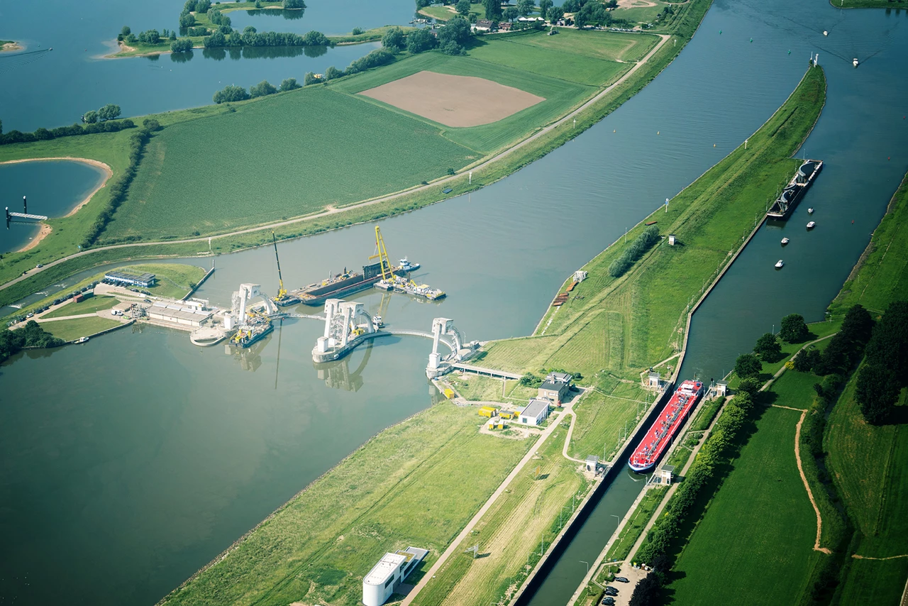
We will need to keep protecting our country from flooding in the future: with firm dikes, dams and sand dunes, water boards are required to comply with strict water safety standards. But in which areas do dikes need reinforcement, and what do these local safety challenges look like underneath the soil? Our 3D Subsurface literally and figuratively makes the subsurface transparent, viewable and accessible, and the measures to be implemented become transparent.

Know your subsurface

It is only by understanding the subsurface that we can continue to develop and manage our national roads, waterways and water bodies. The Subsurface Key Register Act (Wet basisregistratie ondergrond) requires administrative bodies to provide and use data relating to the subsurface. This makes all data relating to the subsurface in the Netherlands accessible through a central repository in the form of maps, graphs, models and tables. This foundation of consistent and reliable data is essential to effective policy and management particular where significant challenges such as the energy transition, climate adaptation, housing challenges and economic growth are concerned, which have a massive impact on the immediate environment, both above and below the ground.

3D visualisation and analysis

At each stage of an infrastructure project, 3D data can provide key information about the subsurface and facilitate the decision-making process. 3D Subsurface integrates the available subsurface data from GeoTop and Regis, as well as data relating to groundwater wells, drillings and soundings, into a cloud environment. Integrating these various datasets and visualising them in 3D leads to valuable new insights, and the subsurface literally and figuratively becomes transparent, comprehensible and accessible.


Knowledge of the subsurface is essential in order to ensure the Netherlands remains safe and accessible, with a high quality of life

Better solutions

3D Subsurface accurately captures the risk DNA of the dike, leading to superior solutions (in addition to saving time and money). By visualising data relating to the subsurface and top soil in 3D, you can literally look across the limits of various disciplines. This is valuable in particular at the start of large-scale infrastructure projects.

Digital design plans (BIM) and digital spatial information (GIS) relating to the living environment can be linked to the 3D subsurface models at a preliminary, exploratory stage. This is how designers, along with environmental managers, geo-technicians and other experts, adopt an integrated approach to the same issue, thereby revealing the interrelationships, as well as the opportunities and risks, among all stakeholders. This, in turn, can potentially contribute to superior designs, more efficient decision-making, and lower costs.

Your own data, above and below ground

Working with 3D Subsurface does not require detailed knowledge of GIS. In addition to fast and easy visualisation, it is also easy to quickly add layers of maps. In some cases, the local situation calls for an even more accurate picture; in this case, you can enrich 3D Subsurface with your own data, both above and below ground. This might include data relating to water catchment areas, soil contamination or archaeological sites.


WHY 3D SUBSURFACE?

Pros

  • Accurate picture of risk DNA

    Rapid understanding of the problem(s)
  • Efficient decision-making

    Better impression of opportunities and risks through integrated approach
  • Easy integration

    an be integrated with your own data sources
Case:

Even better protection against floods

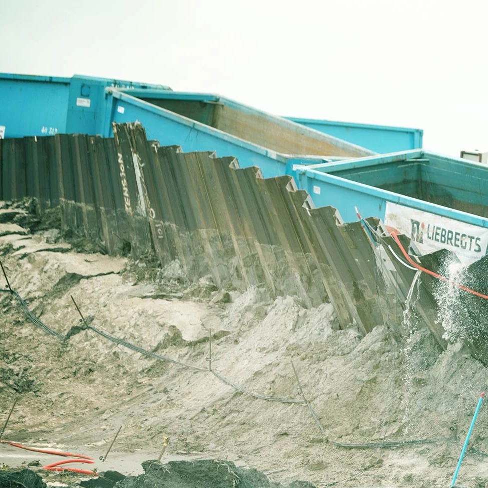
With an eye on the future, the Lekdijk between Amerongen and Schoonhoven is set to be strengthened, but the shovel won’t hit the dirt until enough is known about the soil. Geodan maps out all data on this topic, providing a solid foundation for the reinforcement process.

case - sterke Lekdijk
Products and services

Solutions

Geodan offers handy tools for the water boards sector.

All products
Crisis situations are resolved better and more quickly when real-time information is made available to all parties involved. Clearly, on one platform.
Our datasets and services offer all sorts of valuable information, ranging from insight into the number of stories in a building to predicting stop times.