Location intelligence can bring us to a smart, safe, and sustainable world
If you combine the power of location data with innovative technology, you’re on to a winner. At Geodan, that’s what we call Location intelligence. With our spatial way of thinking and working, we have been making the world a bit smarter, safer, and more sustainable for over 30 years. From a complete system to quickly get the railways ready for use after an incident to a smart tool for route optimization and technology that lets you experience a new suburb while it’s still being developed.
Everything has a location
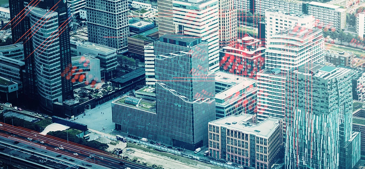
Energy transition, mobility and security are just three of the countless social issues that make demands on the same limited space in our country. And, as such, they require cooperation, insight, and the connecting power of location intelligence.
Data provide answers
Data are everywhere. All of those data can be assigned a location. And to that location, you can assign data. That way, you find the answers to important questions, such as: What is the best place to do something? What are the pros and cons of an area when compared to other places? And what are the stakes and circumstances that play a crucial part in a particular place? The location of objects, activities, and processes are extremely important with these types of issues, but they are also only just the beginning. Because real steps can only be taken when you match data to those locations and analyze the spatial connection between different places, activities, and processes. And that is exactly where the power of location intelligence lies. By making smart combinations of different data, you can determine the ideal location for a new highway, taking into account the traffic flow, soil, and impact on the local environment. Insight into who may be adversely affected by the construction of a new road provides the possibility of involving them in your plans at an early stage.
‘Social issues require cooperation, insight, and the connecting power of location intelligence.’
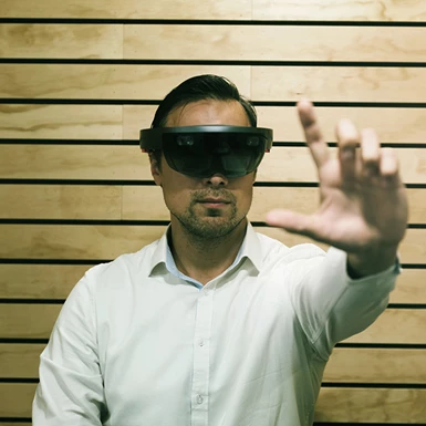
Unlimited possibilities
Internet of Things, big data, virtual reality and augmented reality... with technological developments accelerating exponentially, the possibilities of location intelligence are also growing. Moreover: thanks to 3D and 4D, they’re virtually limitless. From a 3D model to predict flooding to a real-life replica to support urban planning. Using geographical data, Geodan is working on a smart, safe, and sustainable world. Now, but especially in the future.