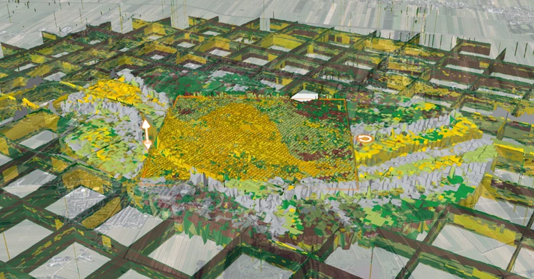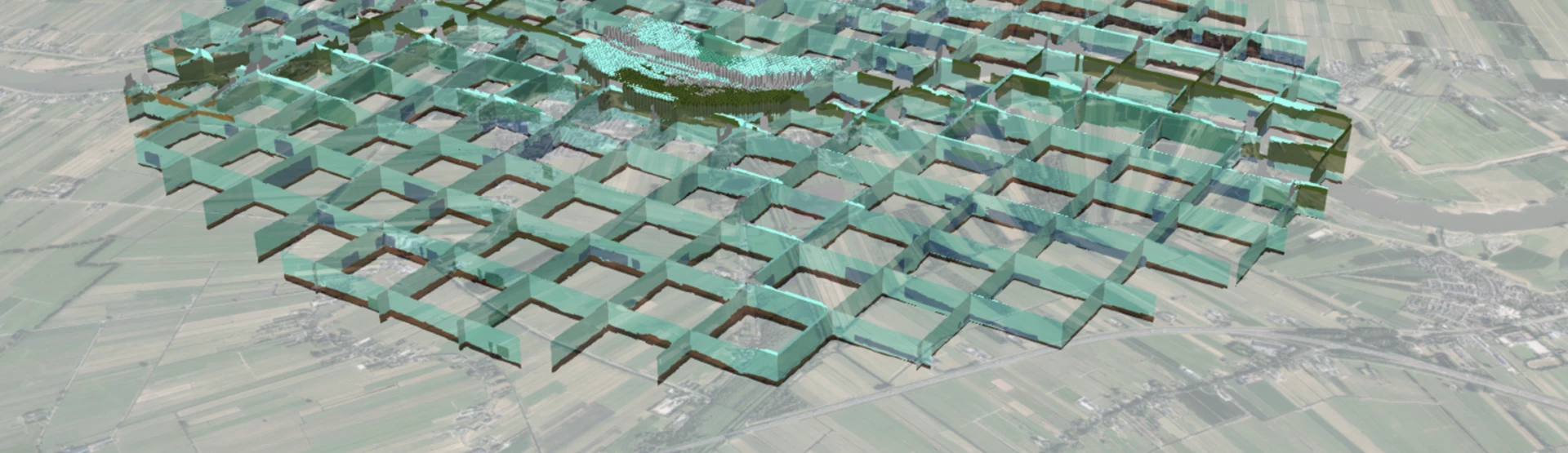
Access to subsurface data is vital when it comes to developing, managing and operating our national road system, waterways and water bodies. Data sourced from the Subsurface Key Register (Basisregistratie Ondergrond) helps you visualise a coherent image of this subsurfacein 3D. This ensures that the subsurface is transparent, clear and accessible for all users. The Netherlands is the only country in the world to use this type of detailed model.
More sophisticated subsurface model for future Delta challenges
One of the biggest challenges facing the Netherlands in the coming years is protecting the country from flooding. This is a complex problem that calls for close cooperation and innovative solutions. On behalf of the Netherlands Ministry of the Interior and Kingdom Relations, Geodan presented a highly sophisticated subsurface model (developed by TNO, the Netherlands Organisation for Applied Scientific Research) during the 10th Delta Conference.