Kennis&innovatie BRO 3D ondergrond.PNG

BRO paints 3D picture of the subsurface

The Netherlands is facing several enormous challenges all at once: from climate change and the energy transition to meeting housing needs and constructing large-scale infrastructure. Jaap Slootmaker, Deputy Director General for Public Works and Water Management: “The subsurface is getting increasingly crowded, and it is important that the entire Dutch construction sector take this into consideration. Nowadays, we can easily translate subsurface data into 3D models, painting a clear and accessible virtual picture of the subsurface. Using this technology to take a look at the situation below ground level early on in the planning process can present major opportunities!”

This article, authored together with Martin Peersmann, was published in OTAR, a trade journal for infrastructure management & maintenance managers, in February 2019.

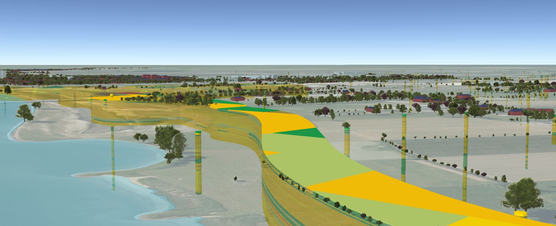
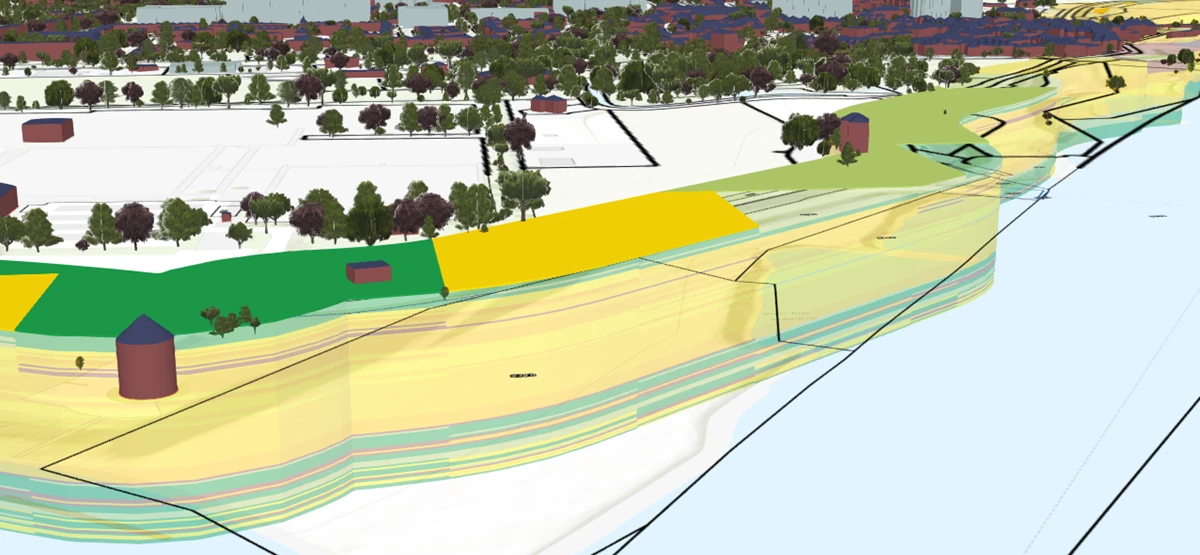
Well-informed policy decisions must be based on reliable information derived from the system of general registries and records. The Basic Subsurface Registry (abbreviated as BRO in Dutch), is indispensable when it comes to future-proofing our country, as are the other basic registries. The BRO consists of all the information about the Dutch subsurface collected by groundwater wells, drilling and Cone Penetration Tests under the responsibility of the government. This information is supplied by source holders, which are administrative bodies such as municipalities, provinces, water boards, the Ministry of Economic Affairs and Climate and executive organizations such as the Directorate General for Public Works and Water Management (Rijkswaterstaat/RWS).


Peter de Graaf

Want to know more?

Peter de Graaf

Please feel free to contact us. Peter de Graaf is our expert in this field.

Email me

We need information about the subsurface to tackle major social issues

Ype Heijsman, Director of Network Management at the Directorate General of Public Works & Water Management for the Central Netherlands

Precursor

In total, over 450 organizations bear the joint responsibility for collecting and updating subsurface data and assuring their quality. The BRO is the central location where all these data are standardized, stored, managed and made available for reuse, making the Netherlands a global front runner. It’s not for nothing that the BRO won the Infratech Innovation Award in January 2019! Other countries such as Denmark and Great Britain have since decided to follow in our footsteps.

Location-specific data

Ype Heijsman, Director of Network Management at the Directorate General of Public Works & Water Management for the Central Netherlands: “Without a subsurface, there wouldn’t be a surface: we need information about the subsurface to tackle a wide range of major social issues. We spend all our days working on a safe, livable and accessible country. We manage and develop public roads, waterways and waters and are committed to a sustainable living environment. In order to manage our roads, waterways and artworks and to ensure that new routes are laid in suitable locations, insight into the subsurface is essential. It is important to check whether new infrastructure will or will not fit in with specific soil conditions, as in the case of peatland, for instance, as well as how river courses develop, and whether you will have to take other uses of the subsurface into consideration, such as our strategic drinking water reserves. Sound insight can help shorten lead times and avoid failure costs. The BRO contains all information on the subsurface, from mineral deposits to groundwater levels. These data can then be combined with surface data obtained from other basic registries: location is the connecting factor.

Open 3D data

The digital 3D soil and subsurface models that the BRO makes public as open data are unique. Generally speaking, everyone can see what’s happening above ground. Martin Peersmann, program manager at BRO: “Most people can form an idea of what digital data about the surface look like: you can project the information onto the world you see around you. The situation is rather different for the subsurface: the only way you get to see it is by digging. That is why people often struggle to paint a mental picture of the subsurface and to interpret and understand information about it, and how it relates to the living environment above the surface. By making digital 3D models available, the BRO literally and figuratively makes the subsurface transparent, viewable and accessible.” In collaboration with fellow authorities and executive organizations, such as RWS, the Ministry of the Interior and Kingdom Relations has carried out several Proofs of Concepts to highlight the added value of the BRO. The employees and administrators involved in the PoCs on behalf of the government, companies and knowledge institutions are very enthusiastic about the integrated approach of the BRO. They also believe that the Netherlands needs a National Subsurface Directorate, which would connect all the parties involved in a given issue, whilst standing above all individual parties and be given the power to make choices and take decisions that serve national interests.

Better decisions

Better decisions with 3D visualizations (VR) on the Internet or with augmented reality (AR) on their phone, everyone can now take a virtual peek below their feet no matter where they are in the country. Anand Ramdien, Value Engineering/Value Management coordinator at RWS: “Not only does this allow many more people from a wide range of different disciplines to contribute their ideas about the matters at hand, but it also makes future developments considerably more understandable and accessible for locals and administrators.” “Sharing these virtual images of the surface and subsurface in a so-called ‘digital twin of the living environment’ can promote new insights, better solutions and more support for decisions. The digital twin of the Lekdijk is a great example.

Integrating data

For large infrastructure projects and other construction activities, digital design plans made in BIM can be linked to the BRO’s 3D models of the subsurface and digital spatial information (GIS) about the living environment at a preliminary, exploratory stage. Bart van der Roest, BRO implementation project manager at RWS: “This makes it easier to map opportunities and risks and allows for better uncertainty management throughout the construction project. If you build a 3D data room for the project in question, you can avoid losing information and ensure you have constant access to all information - from the first explorations to post-construction maintenance - in one place. You can also choose to display real-time sensor information in such a 3D data room, which can help optimize the coordination of various processes.”

BRO in development

In the spirit of ‘developing the BRO together’, more and more data are gradually being supplied and used. This was made mandatory as of 1 January 2018, and, as a result, more and more data are being made available, painting an increasingly comprehensive picture of the subsurface. More and more parties are becoming aware of and experiencing the usefulness and necessity of the BRO, and there is a growing desire to include even more information in the BRO, such as the locations of thermal energy storage facilities and soil remediation data, as well as archaeological information and the potential locations of unexploded ordnance. When taken together, all the individual facets of the subsurface determine which plans can be realized where.

Support

Iwan Klein: “Monitoring the effects of the construction project on the subsurface and the direct living environment throughout the project, from the initial exploratory stage through to construction and management, lets you make adjustments on time and easily manage uncertainty and opportunities. We collect more data, knowledge and insight at every step, which lets us grasp opportunities and better estimate and manage risks. Not only does this approach save a lot of time and money, but it also helps create and increase support for particular measures.”

For more information, visit basisregistratieondergrond.nl

Opportunities and Risks

Iwan Klein, Geotechnical and GeoRisk Management Advisor at Rijkswaterstaat: “Each and every project has its uncertainties. In the past, we would deal with them by carrying out a soil survey, but we would wait until the contract preparation phase. In fact, it is better to start surveying the subsurface at an earlier stage, such as the reconnaissance phase. In addition to risks, you can also find opportunities in the subsurface, and the challenge is to map both out as accurately as possible. That is what the BRO does: it brings together data and information that you can use to develop knowledge and insight, which you can then apply in various scenarios. This enables you to make better decisions and it allows for better uncertainty management at an early stage of the MIRT process. If this approach lets you cut failure costs, incurred by the government on major infrastructure projects (approx. EUR 5 billion per year) and the Delta program (approx. EUR 2 billion per year) by a few percent, you are talking about a substantial amount of money."